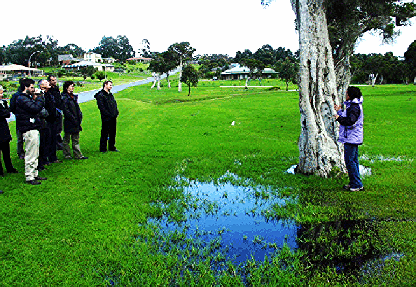
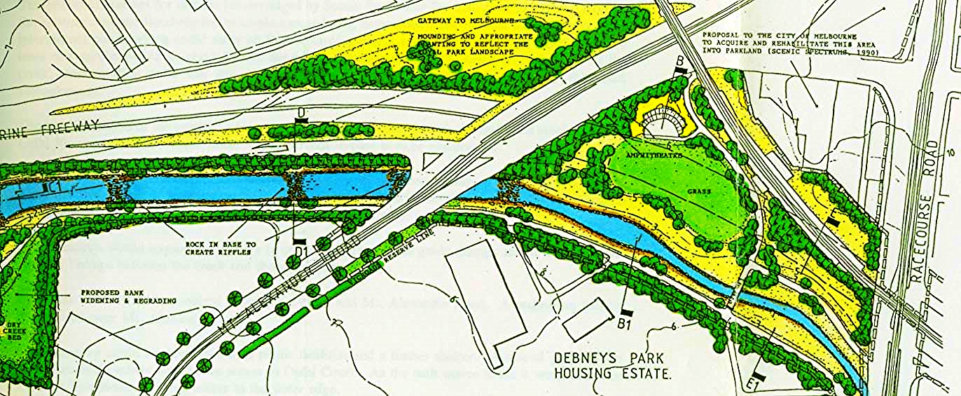
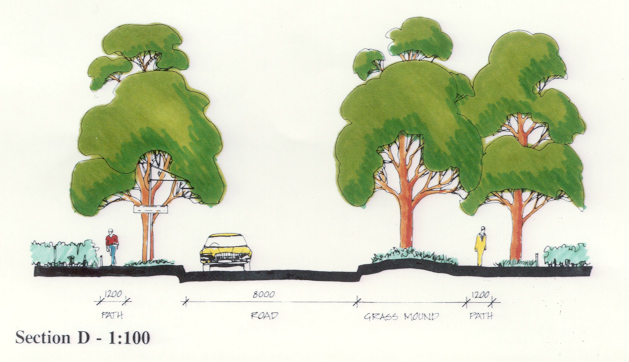
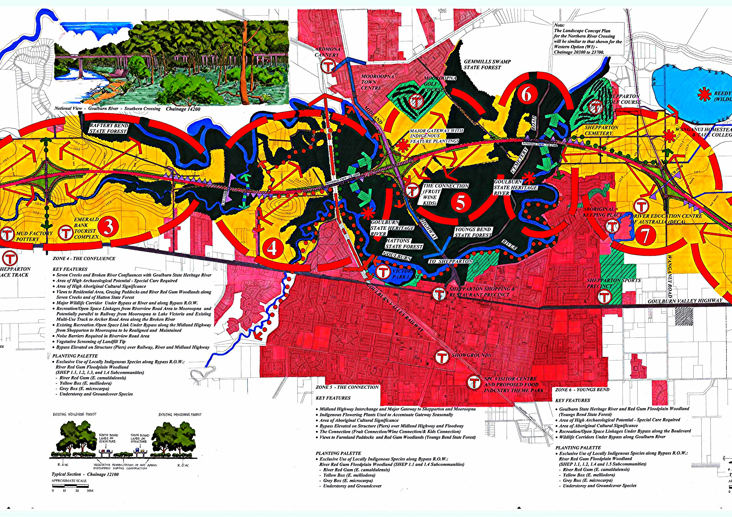
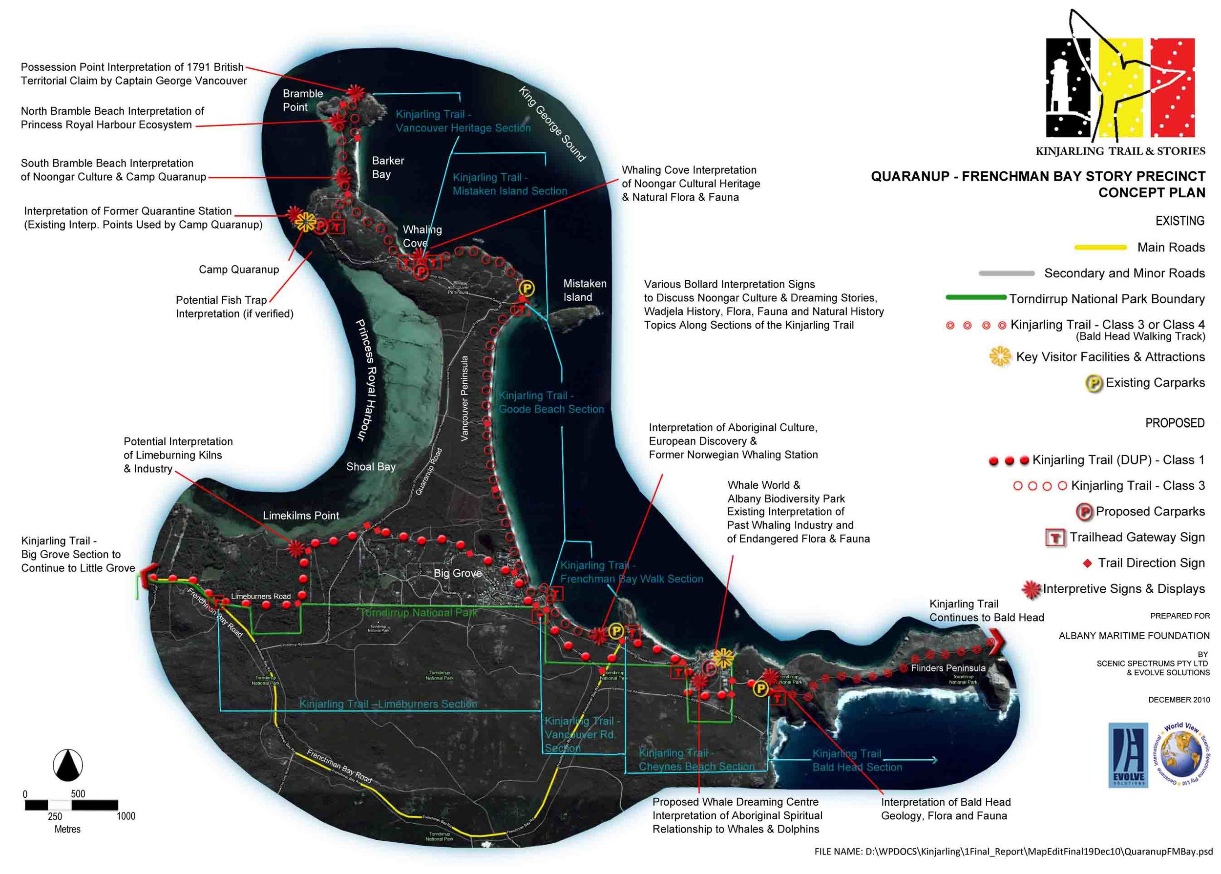
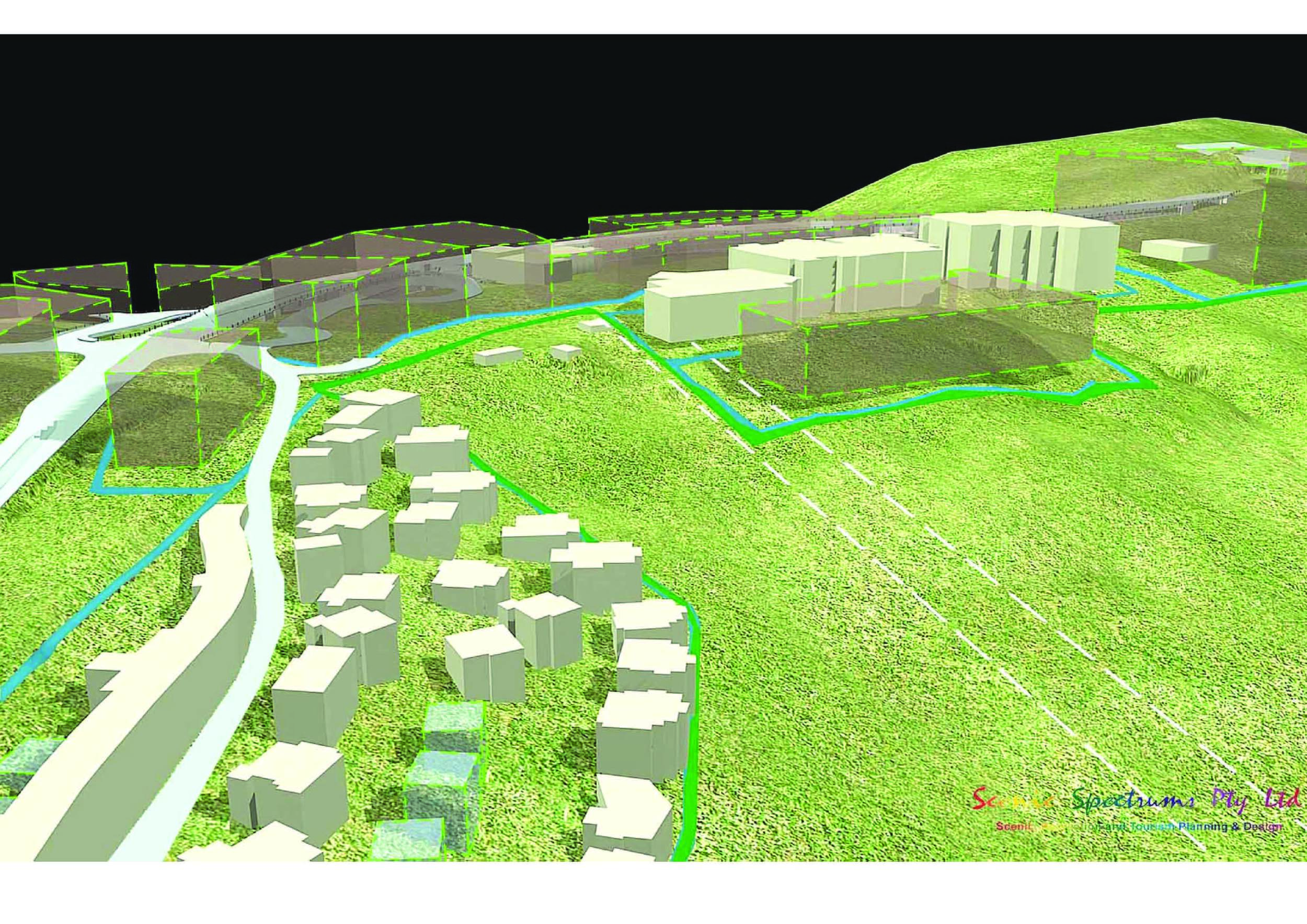
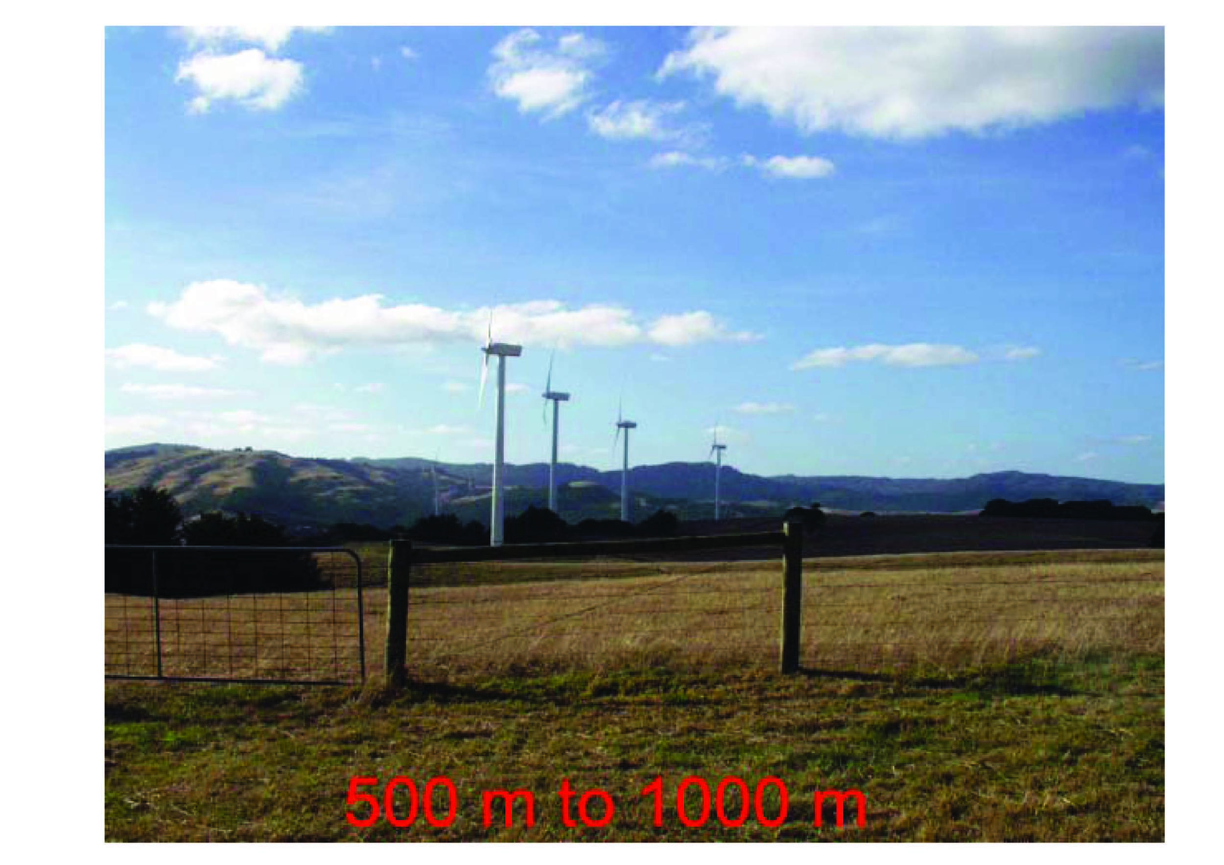
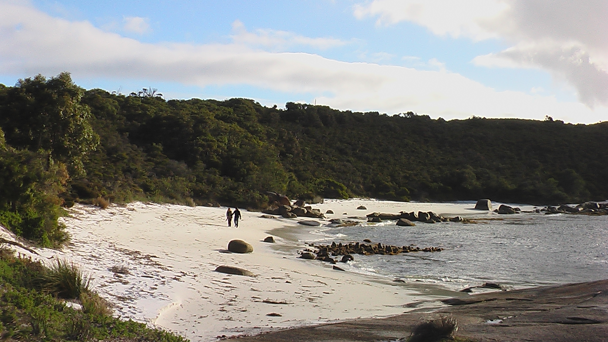
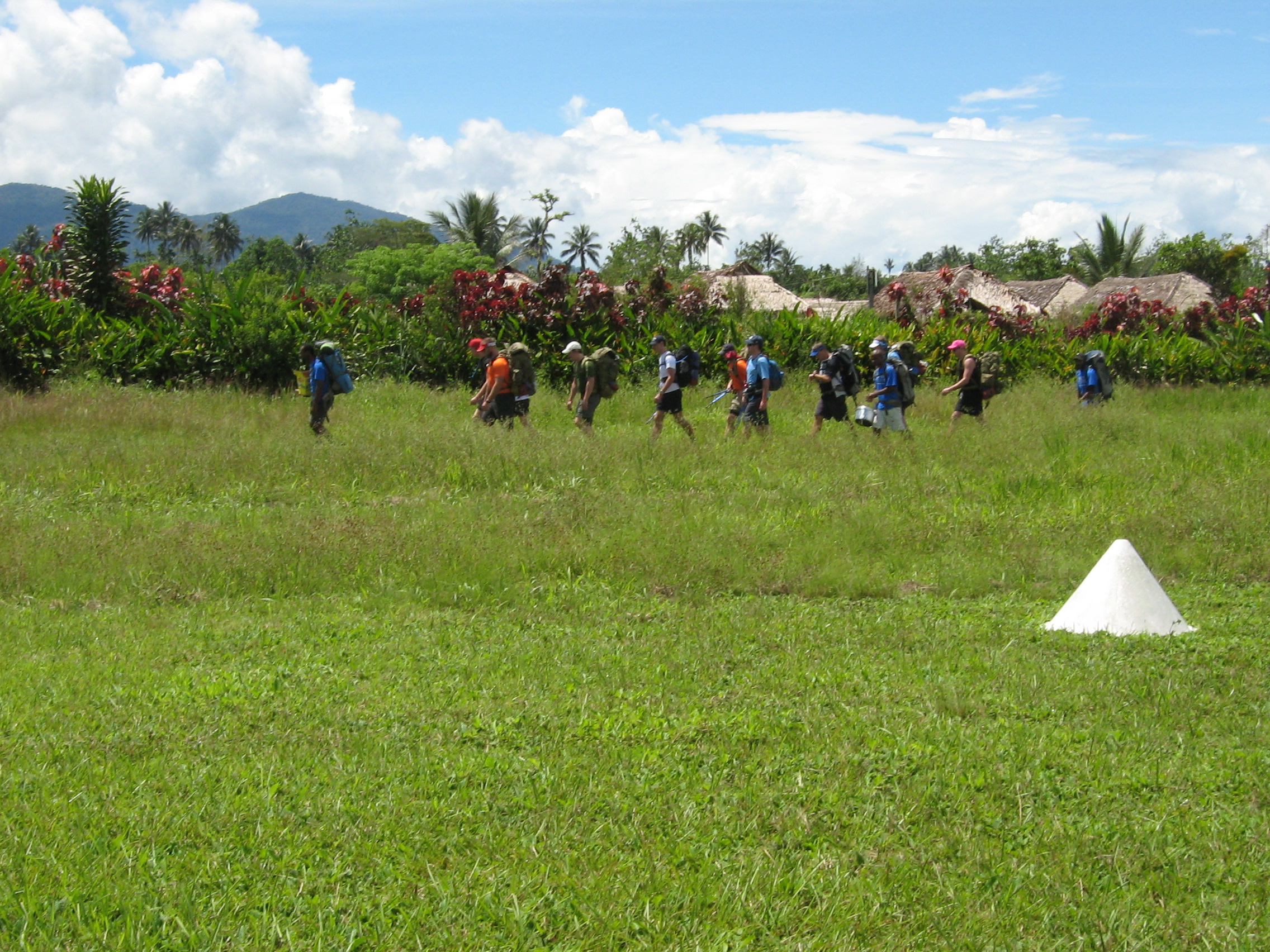
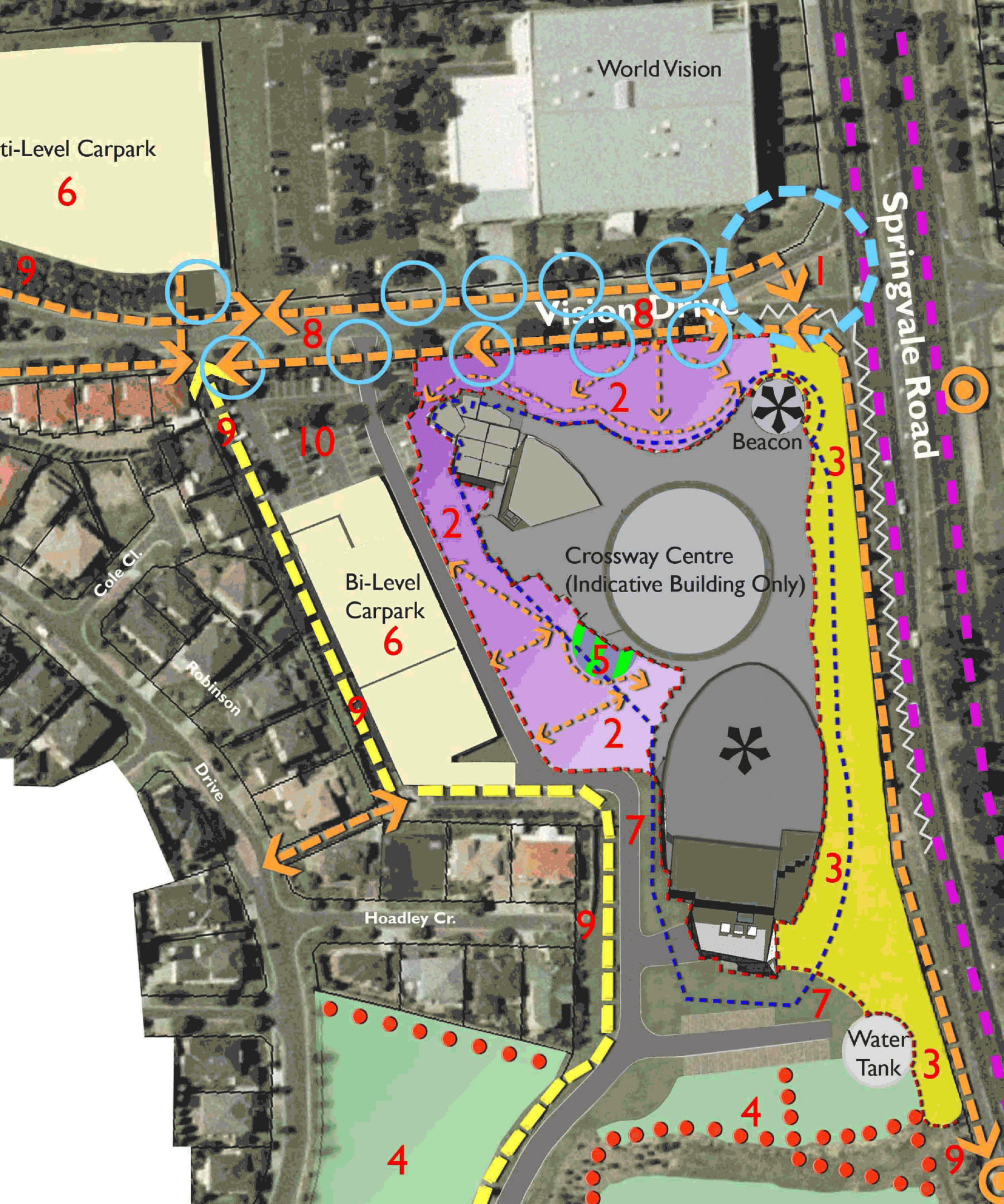
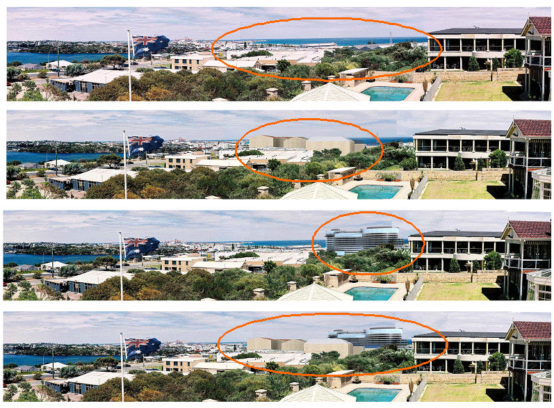
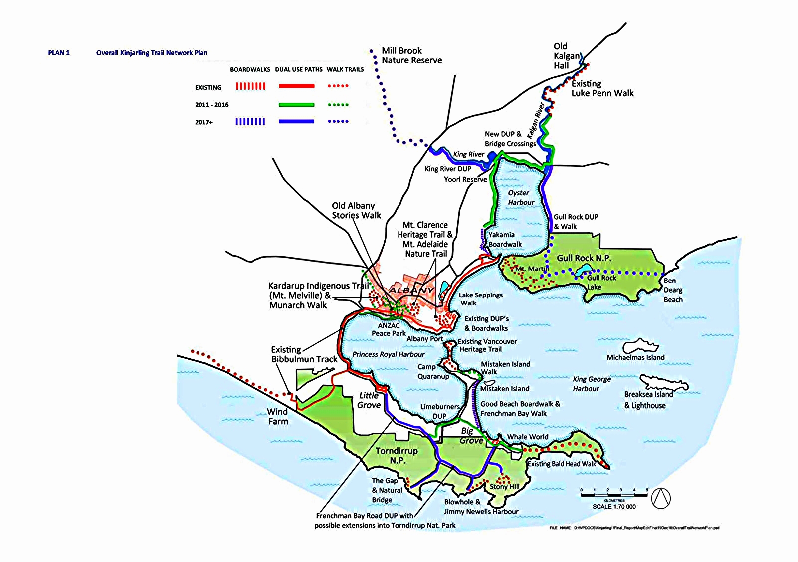
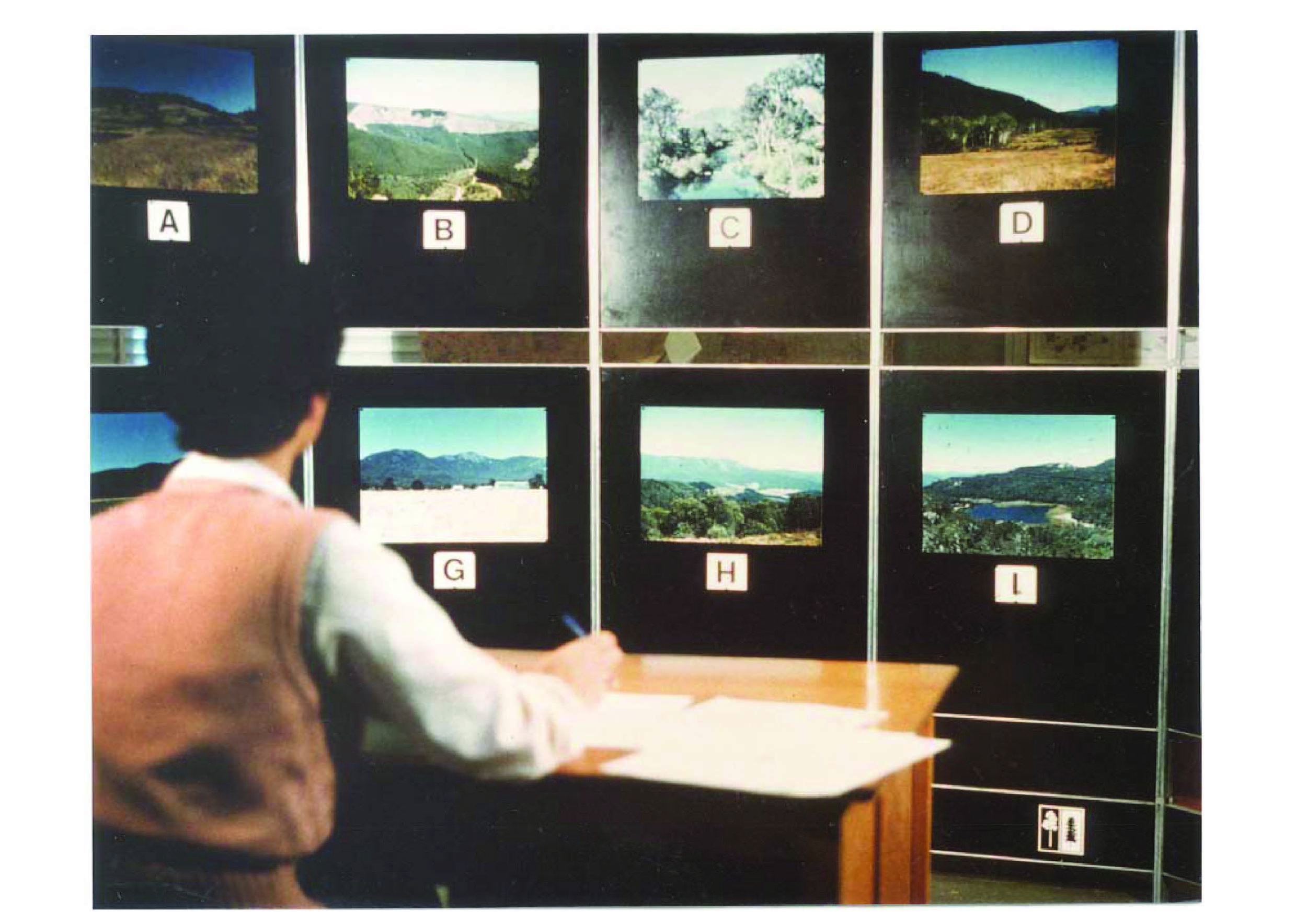
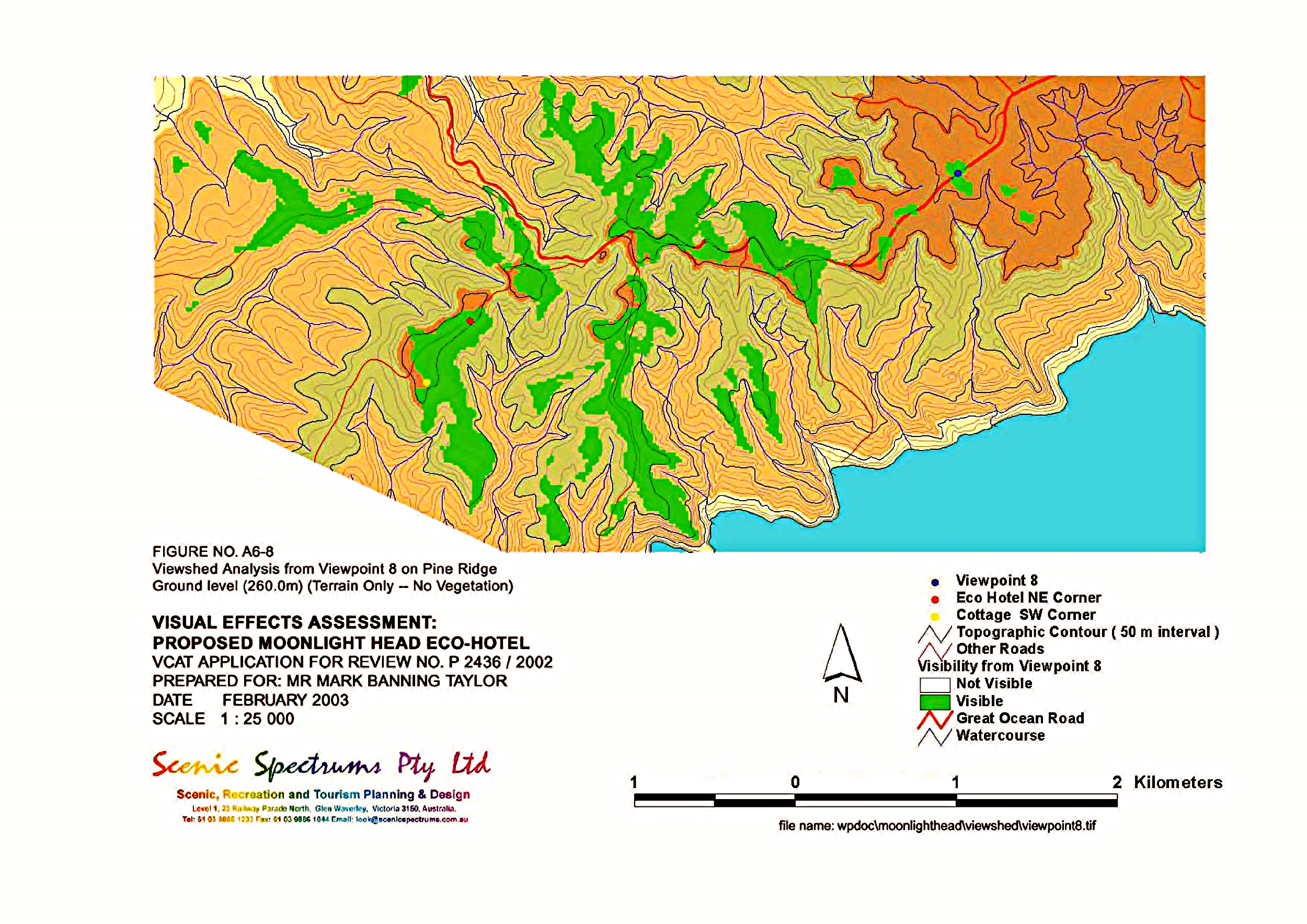
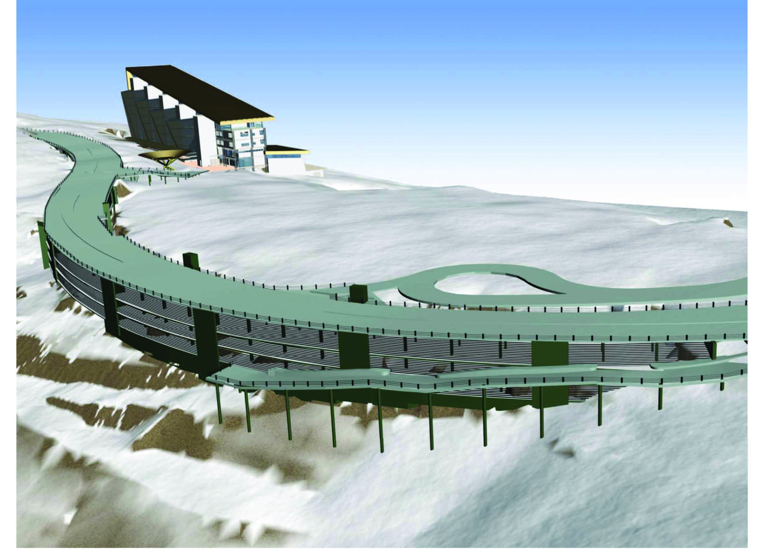
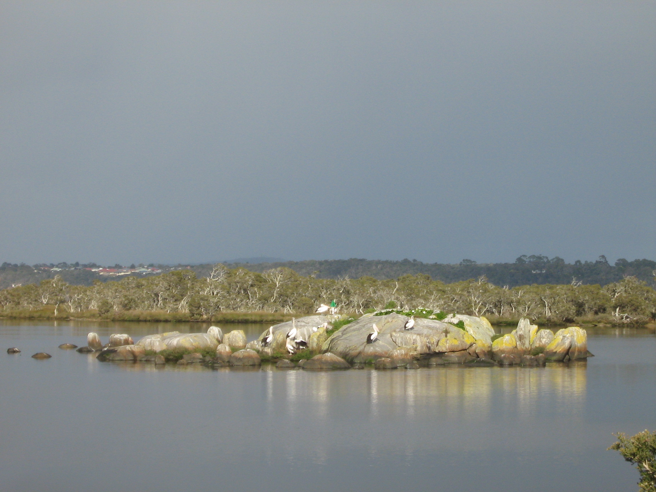
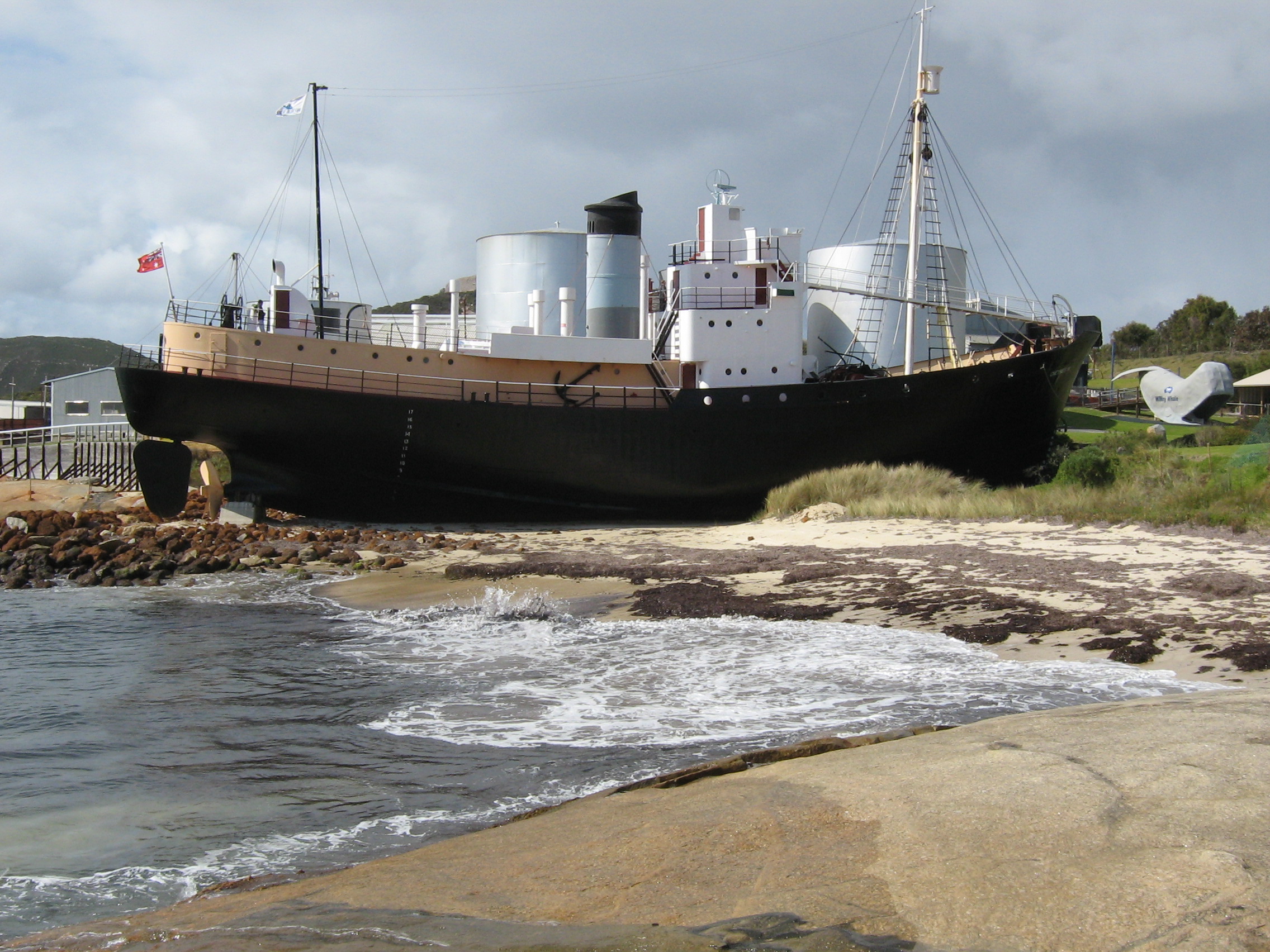
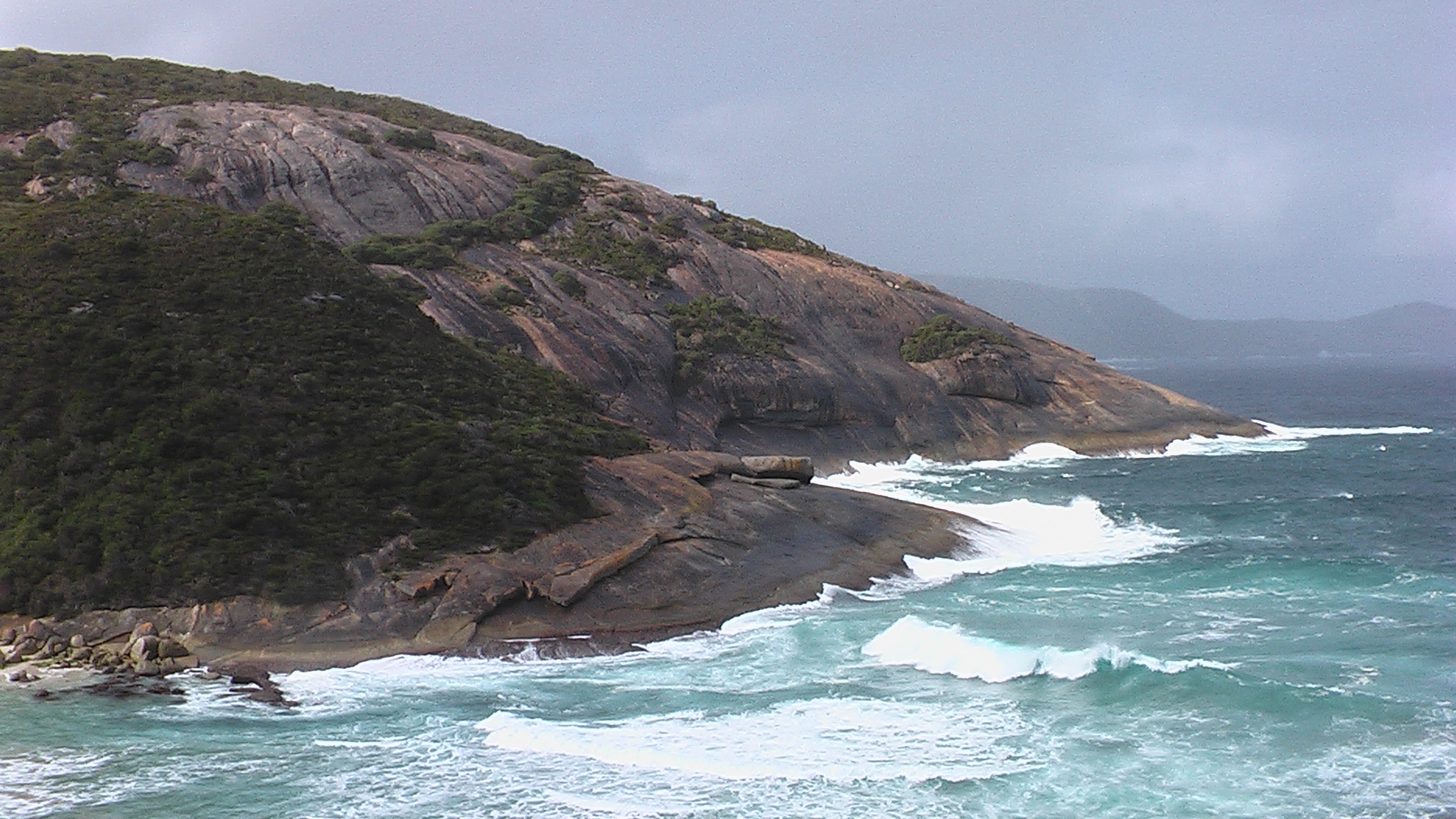
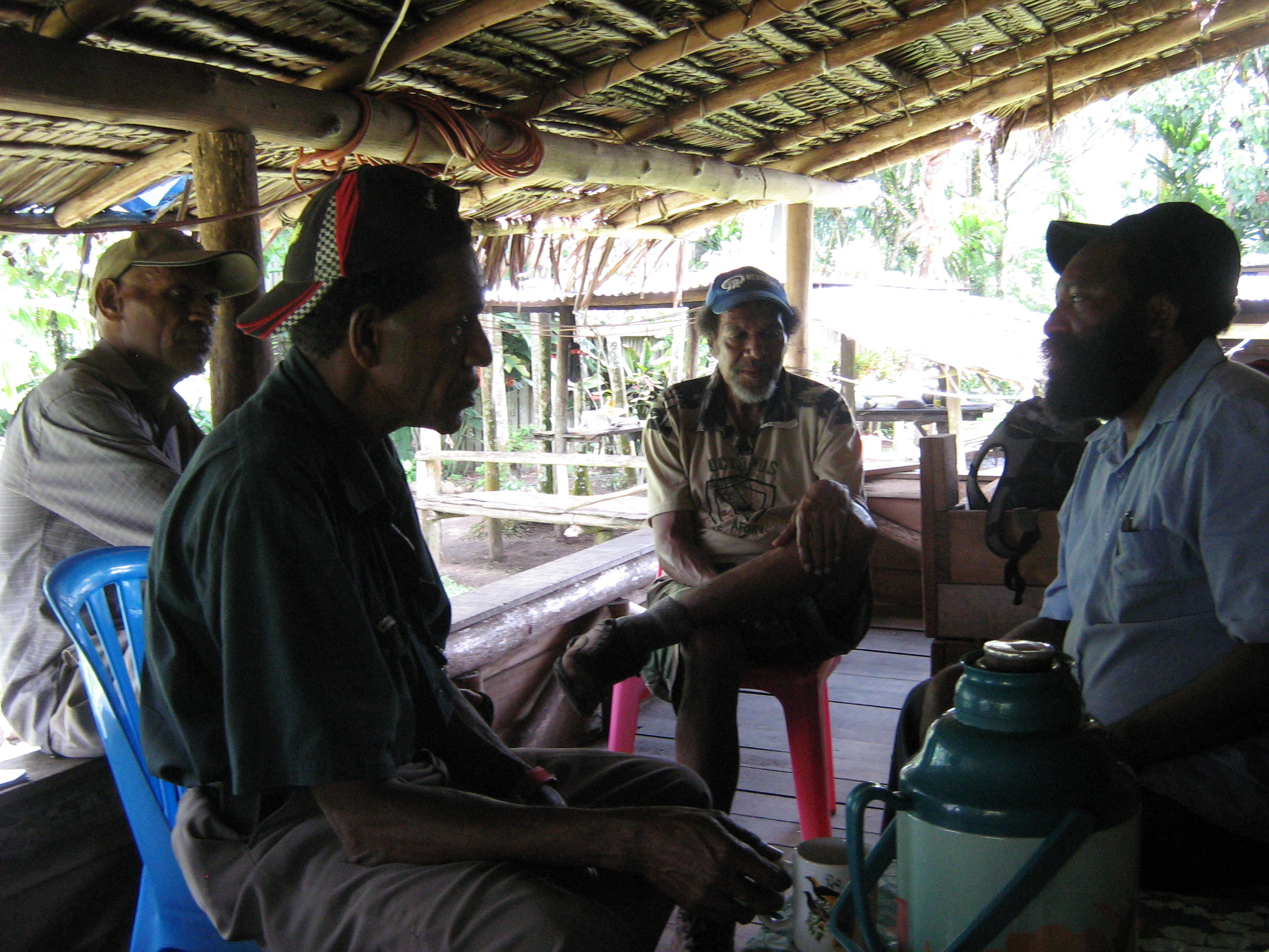
GALLERY IMAGES - PREVIOUS PROJECTS
World Heritage Interpretation Centre - Libo, China
Crossway Structure Plan - Burwood East, Victoria
Interpretation of Noongar Aboriginal Canoe Tree - Albany WA
Development Height Study - North Fremantle, WA
Mickleham Grande Estate - Gateway Entry
Humpback Whale Tour Group, Hervey Bay, Queensland
Nullarbor Karst Indigenous Interpretation - Western Australia
Development Height Simulation - North Fremantle, WA
Ha Long Bay World Heritage Area - Vietnam
Harley Coyne, Noongar DIA Field Officer, Albany WA
Southern Otway Catchment Management Plan, Landcare Field Inspection - Apollo Bay Area, Victoria
Moonee Ponds Creek Revitalisation Plan - Melbourne, Victoria
Cone Karst in South China Karst World Heritage Area - Libo Area, China
Nullarbor Karst Management Guidelines - Western Australia
Griffiths Island Interpretive Trail Signage - Port Fairy, Victoria
Nullarbor Karst Management Guidelines, GIS Mapping - Western Australia
Moonee Ponds Creek Revitalisation Plan - Melbourne, Victoria
Local Street Landscape Concept - Mickleham Grande Estate, Craigieburn, Victoria
Shepparton Bypass Landscape Concept Plan - Goulburn Valley Highway, Victoria
Kinjarling Trail & Stories Overall Plan - Albany, Western Australia
Kinjarling Trail & Stories Precinct Plan - Albany, Western Australia
Scenic Perception Research - Northeast Victoria
Moonlight Heads Eco-Hotel Visibility Distance Zones, Otway Coast, Victoria
Hotham Alpine Village Redevelopment Simulation - Hotham Alpine Resort, Victoria
Hotham Village Redevelopment Simulation - Hotham Alpine Resort, Victoria
Kinjarling Trail & Stories - Oyster Bay, Albany WA
Toora Windfarm - Toora, Victoria
Kinjarling Trail & Stories - Historic Whaling Ship
Kinjarling Trail & Stories - Frenchman Beach, Albany WA
Kinjarling Trail & Stories - Torndirrup National Park, Albany WA
Kokoda Track Heritage Interpretation - Trekkers, Papua New Guinea
Kokoda Track Heritage Interpretation - Local Stakeholders, Kokoda Village, Papua New Guinea
